Satlas

About Satlas
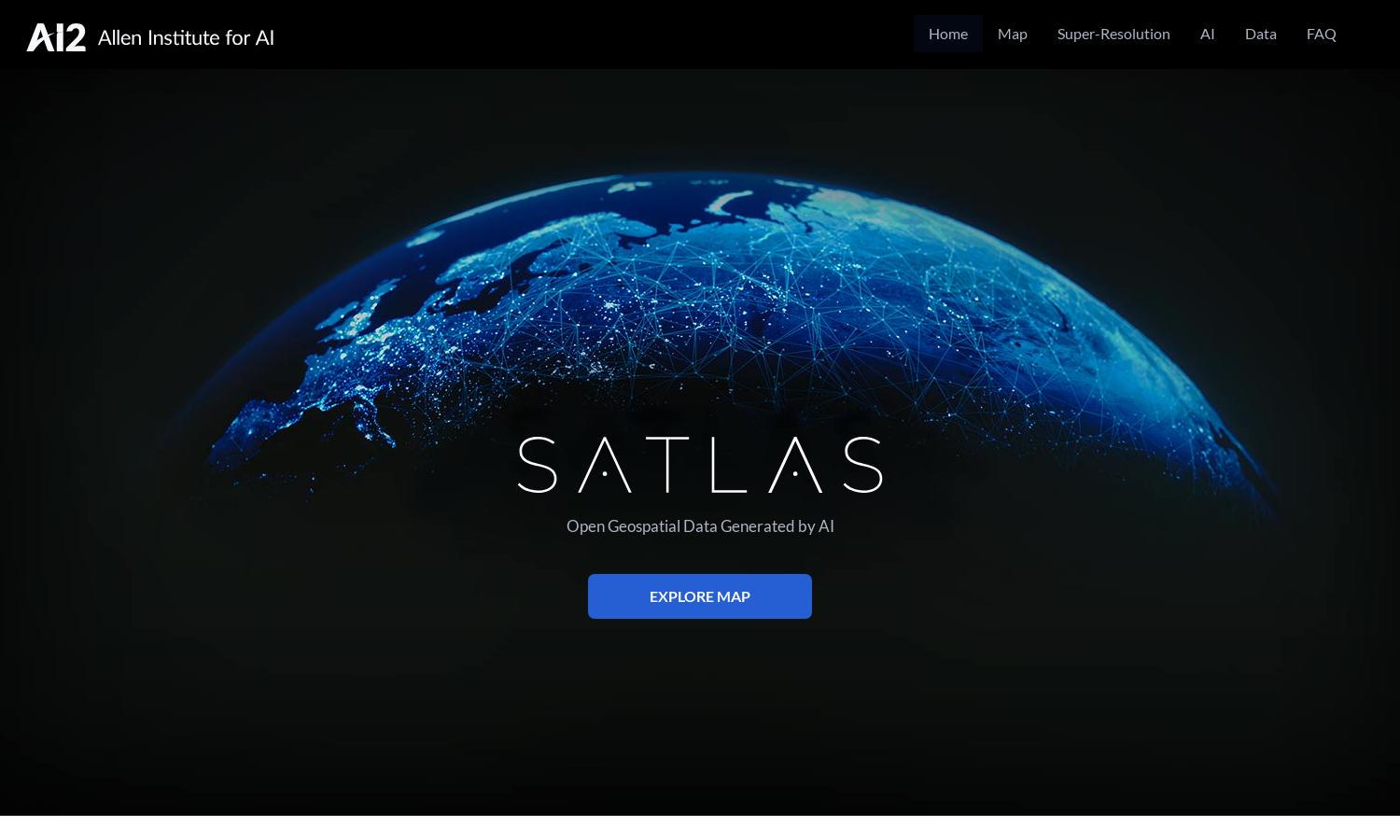
Satlas provides an innovative way to monitor our planet's changes using AI-annotated satellite imagery. Designed for researchers, environmentalists, and enthusiasts, Satlas enhances low-resolution images through super-resolution technology. Users can easily analyze significant geospatial data, making it easier to understand human impacts on the environment.
Satlas offers a free access model, allowing users to explore vast datasets generated from satellite imagery. While there are no explicit subscription tiers, the platform encourages donations for enhanced features. Upgrading to the latest AI models provides users with more advanced tools for their analyses and insights.
The user interface of Satlas is designed for intuitive navigation, featuring a clean layout and interactive maps. Users seamlessly browse through satellite imagery, enhanced by super-resolution technology. Unique features include easy access to datasets and engaging visuals, ensuring an enriching experience throughout their exploration.
How Satlas works
Users engage with Satlas by signing up to access a wealth of AI-annotated satellite imagery. After onboarding, they can easily navigate through various categories of geospatial data, utilize super-resolution tools to enhance visual quality, and download datasets for further offline analysis, ensuring an enriching exploration experience.
Key Features for Satlas
AI-annotated satellite imagery
Satlas excels with its unique feature of AI-annotated satellite imagery that reveals intricate changes in our environment. This innovative approach allows users to gain insights into fields like renewable energy and forestry, significantly enhancing research and monitoring capabilities for environmental impacts and trends.
Super-resolution technology
The super-resolution technology of Satlas provides users with high-quality satellite imagery, elevating the visual experience and analytical potential. By enhancing low-resolution images, this feature allows users to observe detailed changes in landscapes and infrastructure, further empowering environmental research and monitoring efforts.
Open geospatial datasets
Satlas offers open geospatial datasets that are freely accessible, enabling extensive offline analysis. This feature supports researchers and organizations in their studies, enhancing collaboration and data-driven decision-making by providing valuable insights into environmental changes over time.
You may also like:


